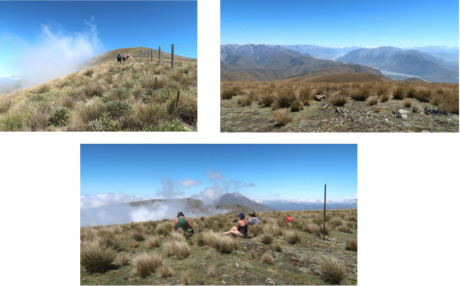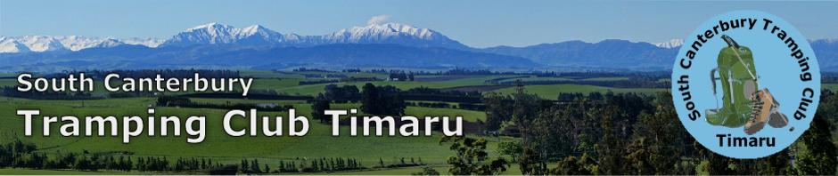
It was straight up! Yes, after crossing three undulating paddocks for the first 500 metres, the ascent to the 1617 metre summit is steeply up, following alongside a deer fence that marks the boundary between the Mt Peel/Waikari Hills Conservation Area and Stew Point Station.
With 1100 metres to gain in altitude, it is a fairly strenuous climb to the top. The DOC sign at the entrance off the Rangitata Gorge Road says that it is three kilometres taking an estimated time of three hours.
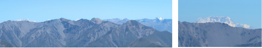
Some cloud came and went but as we increased in altitude the views also increased, from the braided Rangitata River below us to the peaks at its headwaters, round to the peaks comprising the Arrowsmith Range at the head of the Cameron River and directly opposite us to the north, the Moorhouse Range. Glimpses of the Plains and other features appeared as the cloud allowed.
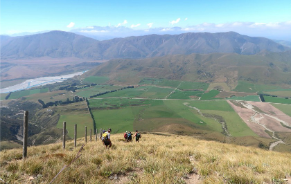
At the summit where we had lunch looking over to Big Mt Peel, we were able to spot Lake Heron and Sugarloaf Hill away in the distance, Lake Emily and Mt Guy, Mt Somers plus many more landmarks.
To the west, Mt Cook and other Southern Alps peaks peeped grandly over the top of a nearer Range. The descent, following the same route, was straight down. It needed some care to avoid slipping on dried snowgrass and, near the old fence, tripping over lengths of number eight wire. Two hours later we were safely back at the cars.
Those who participated we e Catherine who kindly organised the trip, Graham, Wayne, Robert, Christine M, Paul, Leanne and Dorothy.